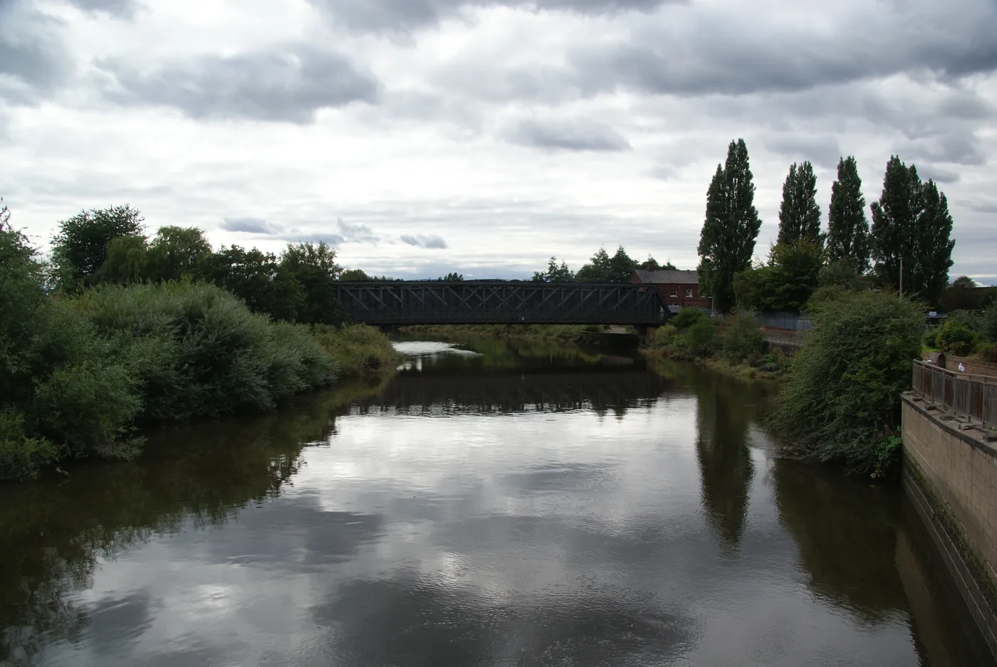

Flooding is expected on Chester Road and Arpley Road under Arpley railway bridge at about 12.30am on 27 October. Tuesday afternoon's tide could do the same.
The Environment Agency has issued a flood warning for the Mersey Estuary at Arpley Bridge. It means flooding is expected, not just possible.
The warning, issued at 3.56pm on Monday, says high tides are expected to flood parts of Chester Road, Arpley Road and the road underneath Arpley Railway Bridge. The worst is expected at about 12.30am on Tuesday 27 October.
The warning area covers Chester Road between Brian Bevan Island and Arpley Railway Bridge, and Arpley Road.
Tuesday afternoon’s tide too
The agency expects the next high tide, on Tuesday afternoon, to reach the flood warning threshold as well. It says tides will be higher than normal for the next two days and that it may issue further alerts and warnings.
A wider flood alert for the Mersey Estuary at Warrington, updated at 4.12pm, names these low-lying spots and the times flooding is possible overnight:
| Place | Expected peak, Tuesday 27 October |
|---|---|
| Fiddlers Ferry | 12am |
| Eastford Road | 12.15am |
| Arpley Bridge | 12.30am |
The alert area also takes in Knutsford Road, Howley, Kingsway North and Westy, according to the agency’s description of the area. Both messages are due to be updated by 10am on Tuesday.
What it means for you
- If you drive through the town centre late tonight, avoid Chester Road by Arpley Bridge and Arpley Road under the railway bridge around midnight. Never drive into floodwater.
- Check again before Tuesday afternoon’s journeys. The same roads could flood on the afternoon tide.
- If you live or work in the warning area, the agency’s advice is to start acting on your flood plan if you have one.
- Stay off low footpaths by the river. The agency advises against using low-lying paths and bridges near watercourses.
For the latest, check the Environment Agency’s flood service or call Floodline on 0345 988 1188. Our Warrington roadworks and travel page has this week’s planned closures.
Have your say